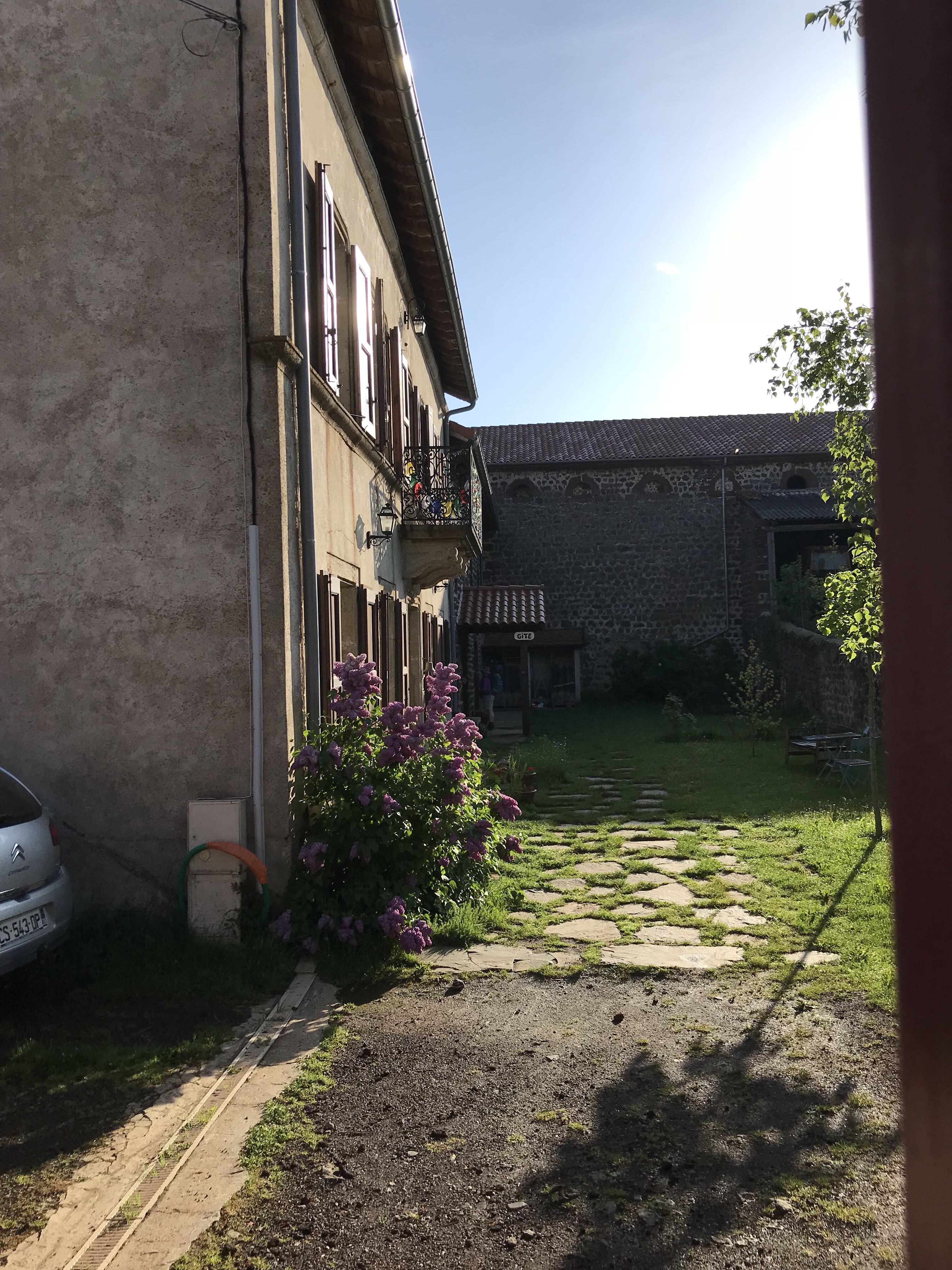
We left our gîte in Montbonnet (l’Escole) about 8 am after what I am learning is the standard petite déjeuner at stages on the pilgrimage route: bread, butter, jam (broadly interpreted – includes Nutella & caramel spread in addition to more traditional examples), juice, coffee/tea/cocoa. This time the board included fresh fruit and a local cheese as well. We helped ourselves, cleaned up, and were in our way. Here’s a shot of the yard taken as we were leaving:
Our route to Monistrol d’Allier took us through farming country and woodlands, over the ridge of a line of hills that marks the valley of the Ailler, down into that valley at St. Privat d’Allier, back up the hills on the other side of the valley, then down again to Monistrol d’allier.
I expected this to be hilly and involve steep, prolonged ascents and descents. It was. According to the Health app on my iPhone, which tracks flights of stairs climbed, on Friday I climbed a total of 42 flights @ ~10′ per flight. Total distance for the day was ~10.2 miles.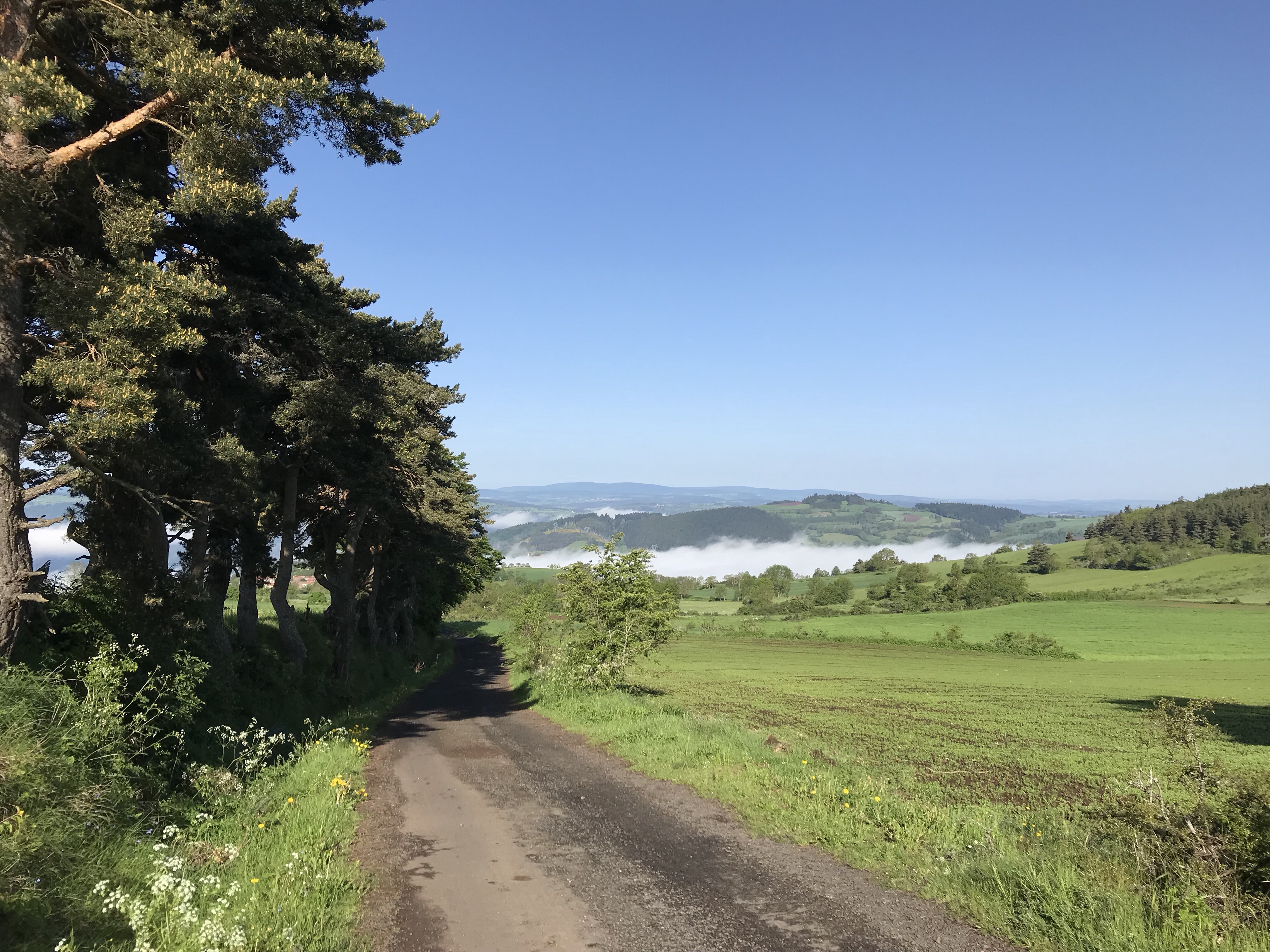
Showing the mist hanging in the valleys as we left Montbonnet.
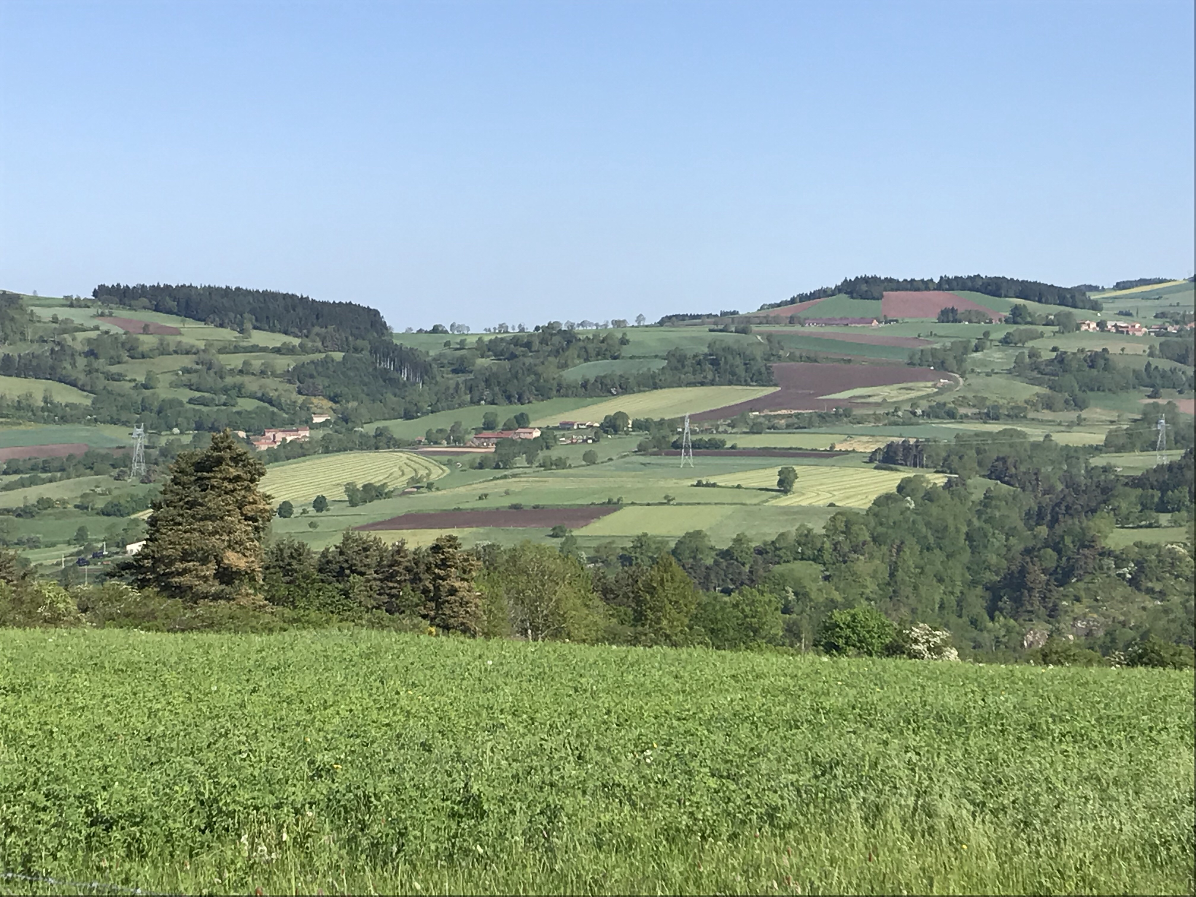
Patchwork of fields against the hills.
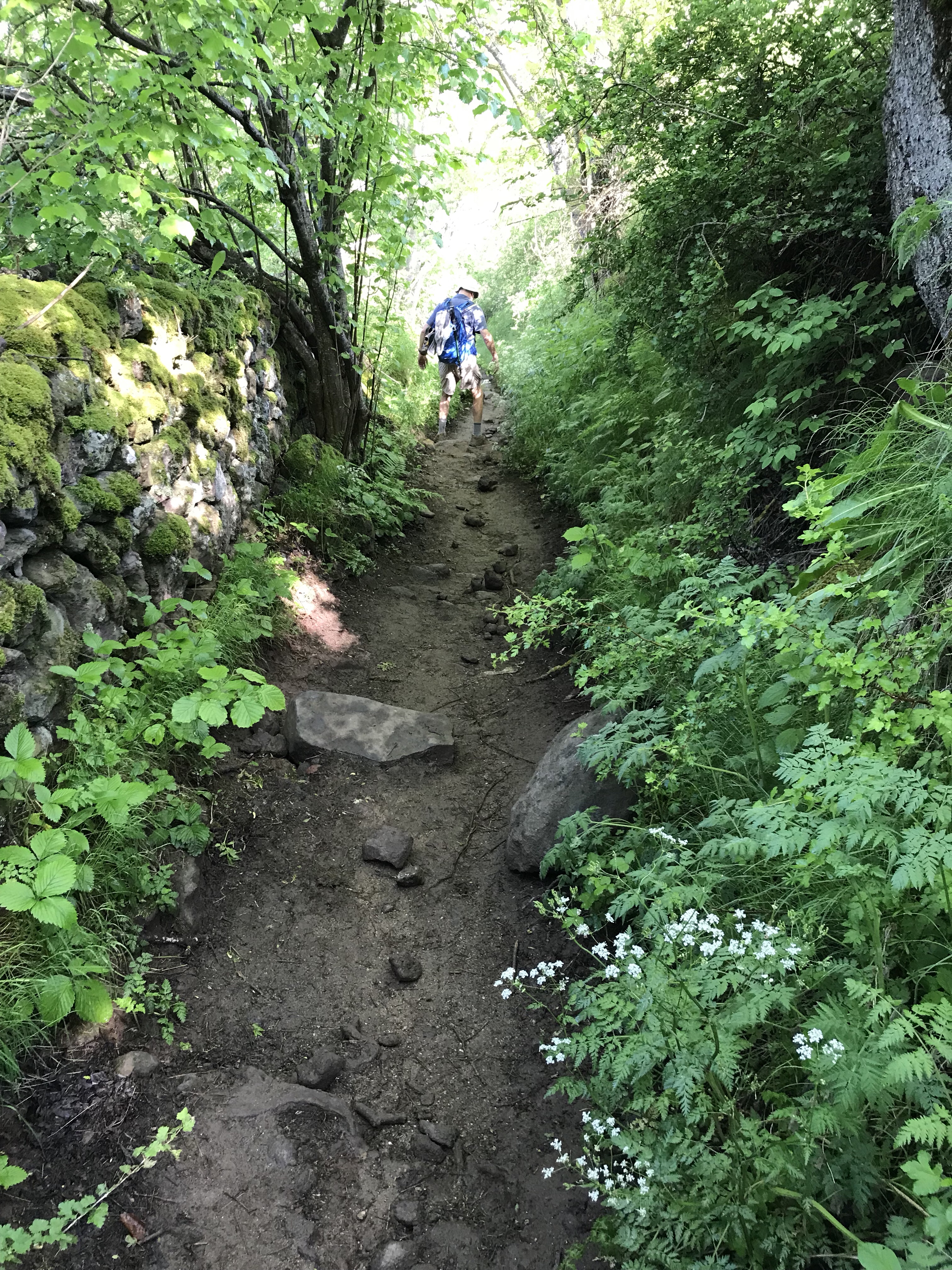
Muddy track due to frequent rains (which we have missed so far)
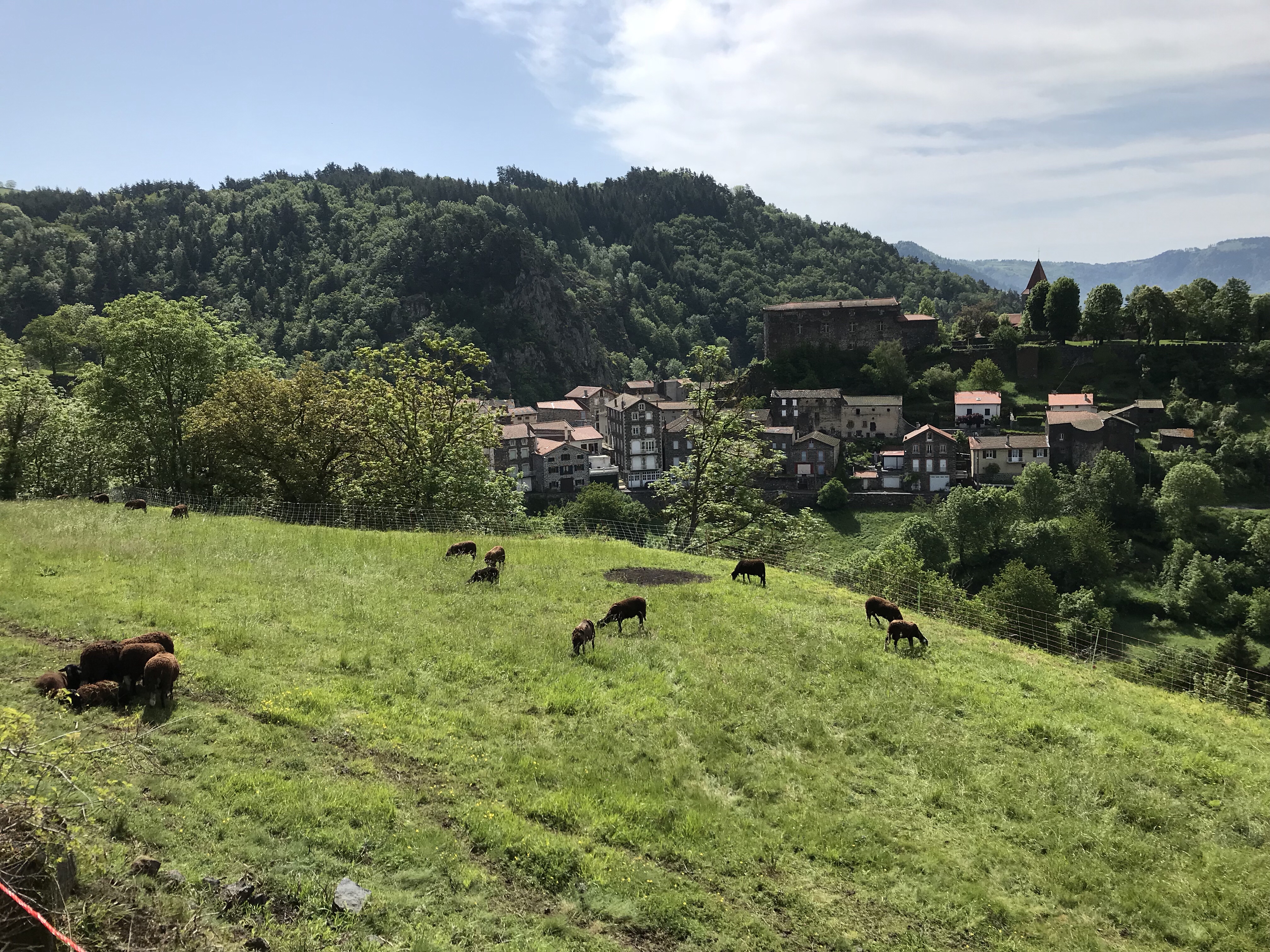
Cows grazing on the hillsides as we approach St. Privat d’Allier, where we stopped for a pause café. (Still hoping to see a group shot someone took and promised to forward.)
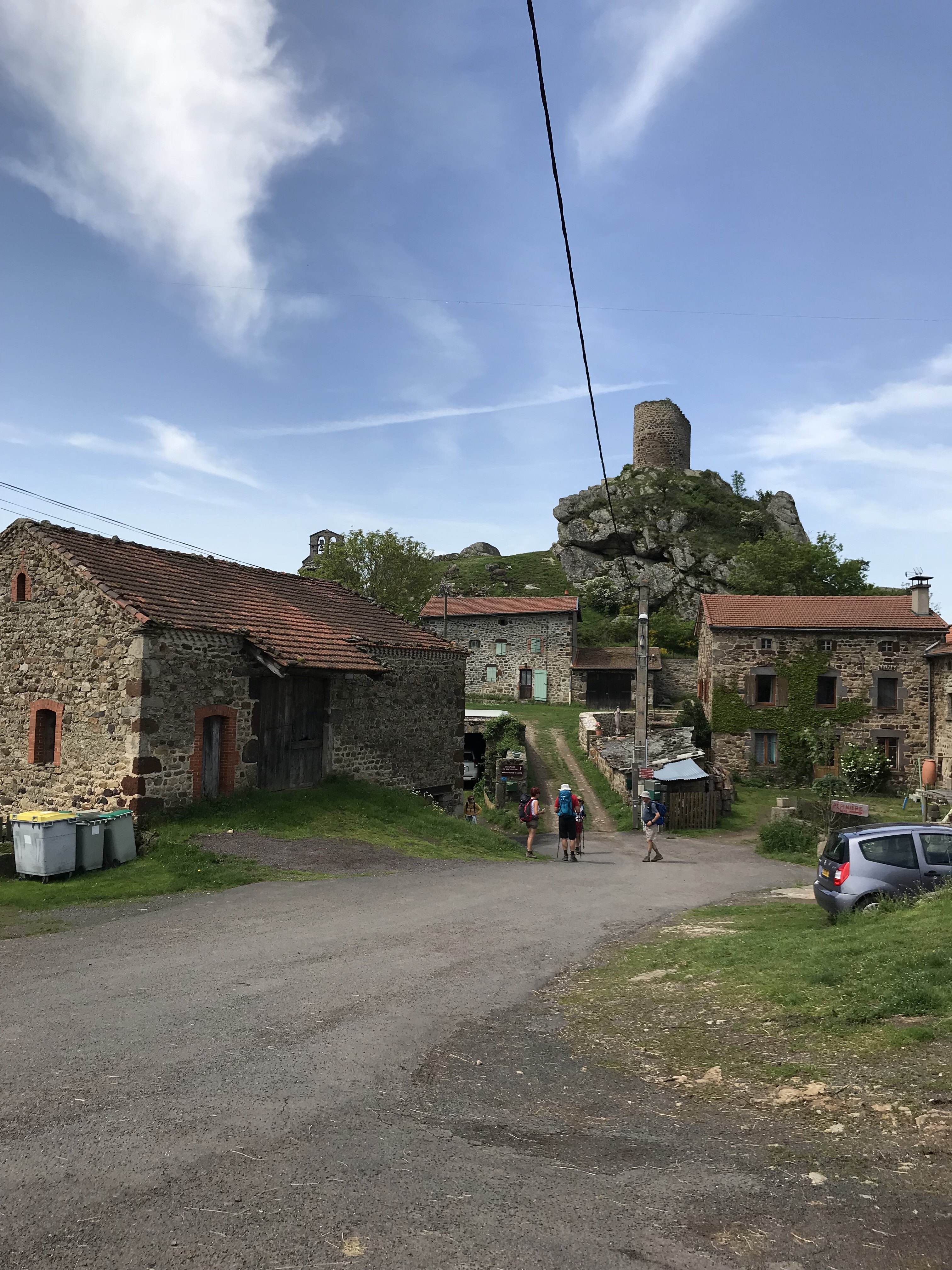
Pilgrims at the village of Roche Gude, with the castle, tower, and chapel in the background.
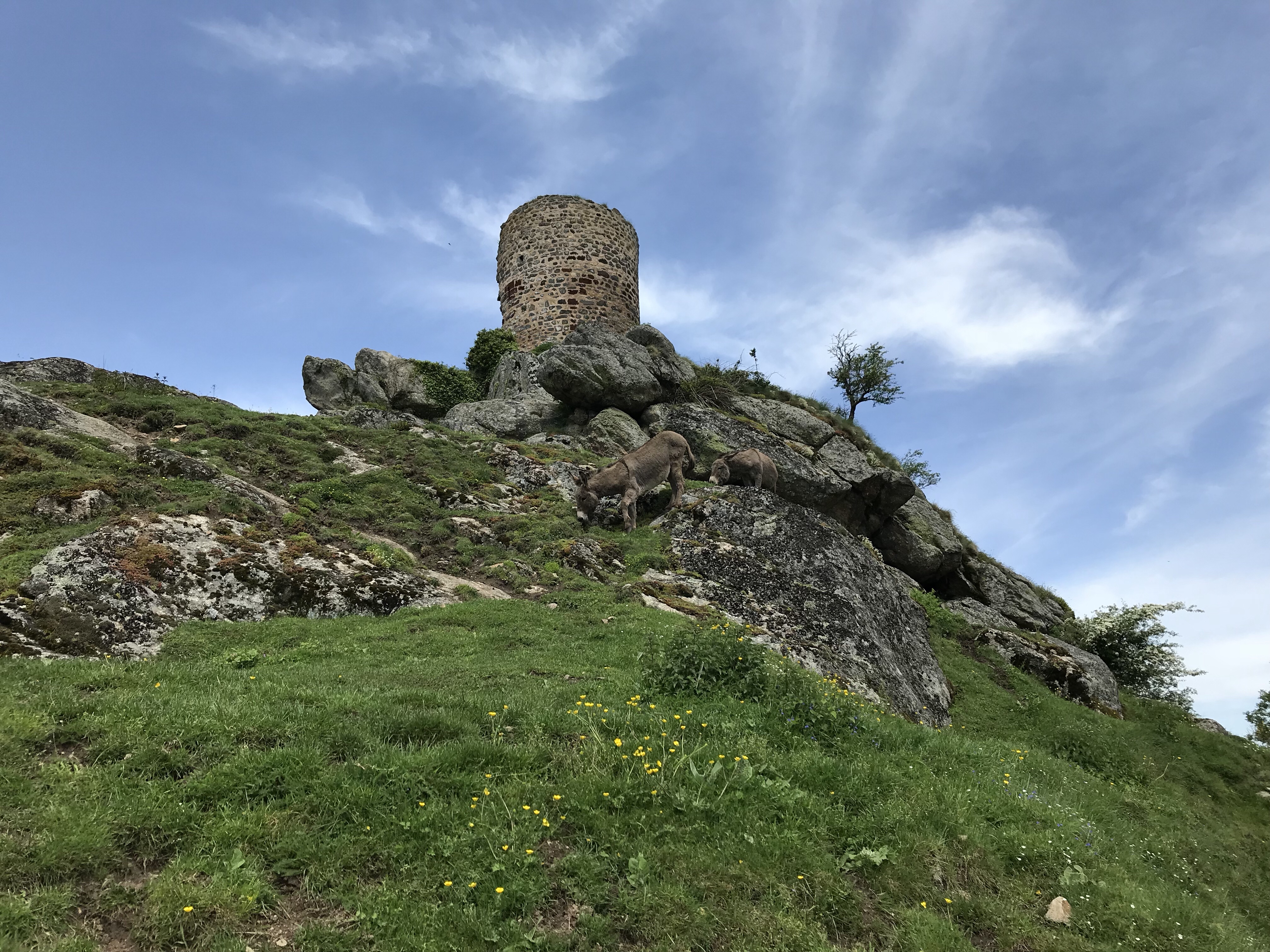
Tower, with grazing donkeys in the hillside.
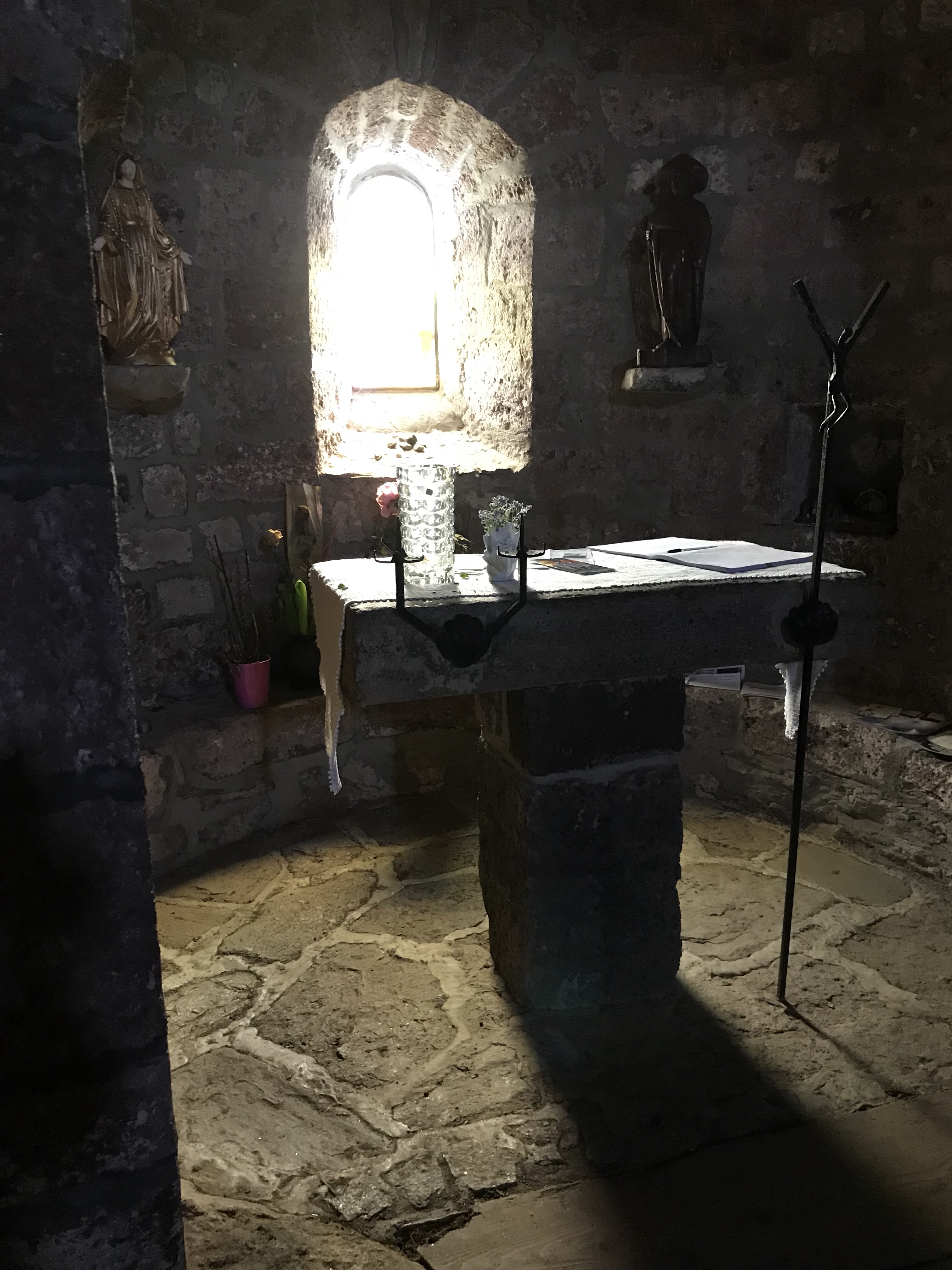
Interior of small family chapel adjacent to the tower.
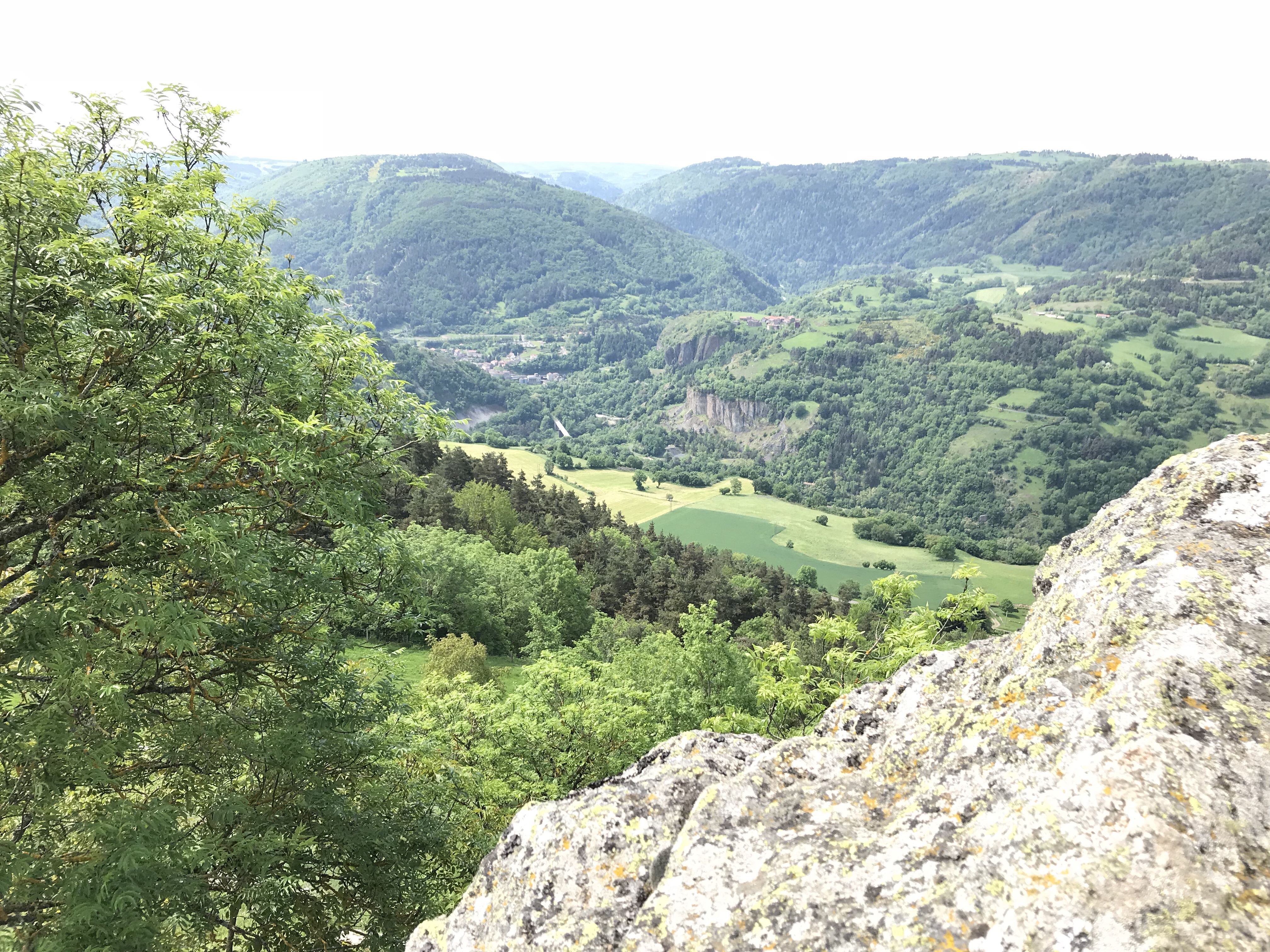
View from Roche Gude of the Valley of the Allier near Monistrol.
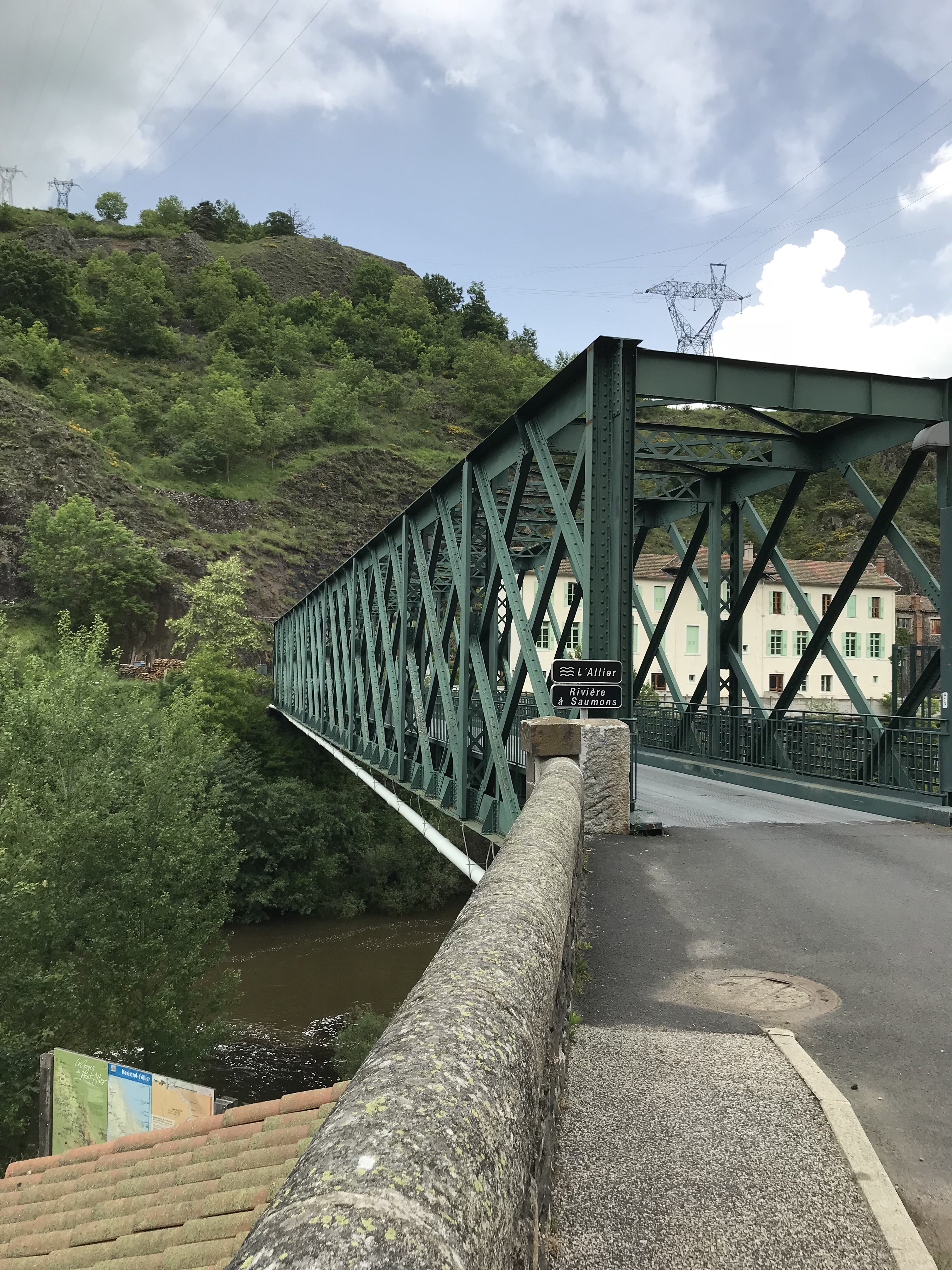
Famous Eiffel Bridge at Monistrol.